Page 2 of 32 results.
-
Hindmarsh
Hindmarsh is bounded by the Little Desert National Park in the south and Wyperfeld National Park to the north. The Barringgi Gadyin (Wimmera River) together with Gurru (Lake Hindmarsh), Outlet... -
Horsham
The Horsham Local Area has the largest population of any municipality in the Wimmera, most of which reside in the Horsham township. First Nations communities retain a strong connection between... -
West Wimmera
The West Wimmera Local Area lies in western Victoria on the South Australian border, about halfway between Melbourne and Adelaide. It is the largest Local Area in the Wimmera. Edenhope... -
Yarriambiack and Buloke
The Yarriambiack Local Area extends north from the Barringgi Gadyin (Wimmera River) to just north of Brim. It covers the southern part of Yarriambiack Shire and western portion of Buloke... -
Monitoring and reporting
Wimmera CMA will coordinate regional monitoring and reporting that focuses on assessing progress towards the RCS’s 20-year and 6-year outcomes. Victorian Catchment Management Authorities (CMA)s and Department of Environment, Land,... -
Partners
Achievement of the Wimmera Regional Catchment Strategy’s outcomes is dependent on the collaborative effort of all parties involved in integrated catchment management. The following table identifies implementation partners and their... -
Review of the Wimmera RCS
Reviewing the Regional Catchment Strategy is an important step in ensuring effective implementation and identifying improvements. Wimmera Catchment Management Authority (CMA) will coordinate reviews of the Regional Catchment Strategy (RCS)... -
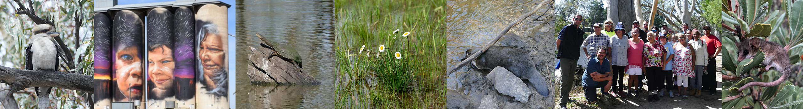
Rivers and Streams
Rivers and streams are iconic in the Wimmera, given it is a largely semi-arid region and many social, economic, cultural and environmental values are provided by the region’s waterways. The... -
Groundwater
Groundwater provides a valuable resource particularly in the West Wimmera for irrigation and town water supply. Many farms in the west of the region rely on groundwater for stock and... -
Wetlands
The Wimmera has an abundance and diversity of wetlands and related natural values. There are over 3,000 wetlands in the region. This equates to roughly 25% of Victoria’s individual non-flowing...